Section 4: Simulation of satellite distribution
Here we model the instantaneous distribution of the satellites in space, and as a function of latitude and longitude. To the extent that the constellations consist of satellites with circular orbits, large numbers of equally spaced orbital planes, and large numbers of equally spaced satellites per plane, the spatial configuration is approximately time-independent.This approximation fails for the Gen2 model which has elements with 1 satellite per plane and many planes. One would not go too far wrong by arbitrarily taking say 360 planes and sharing the satellites among those planes (you're at most 1 degree off which will not change the results much). However in this case I have taken the more detailed data from the technical attachment, as converted to csv format by Richard Cole. This explicitly gives a node and a phase for each satellite. I have interpreted the phase as angle around the orbit from the node. The resulting distribution is sufficiently uniform in longitude and sufficiently dense in latitude to be treated as time independent.
Realization of Starlink OLD (Model I) constellation, showing the varying density of satellites with latitude.
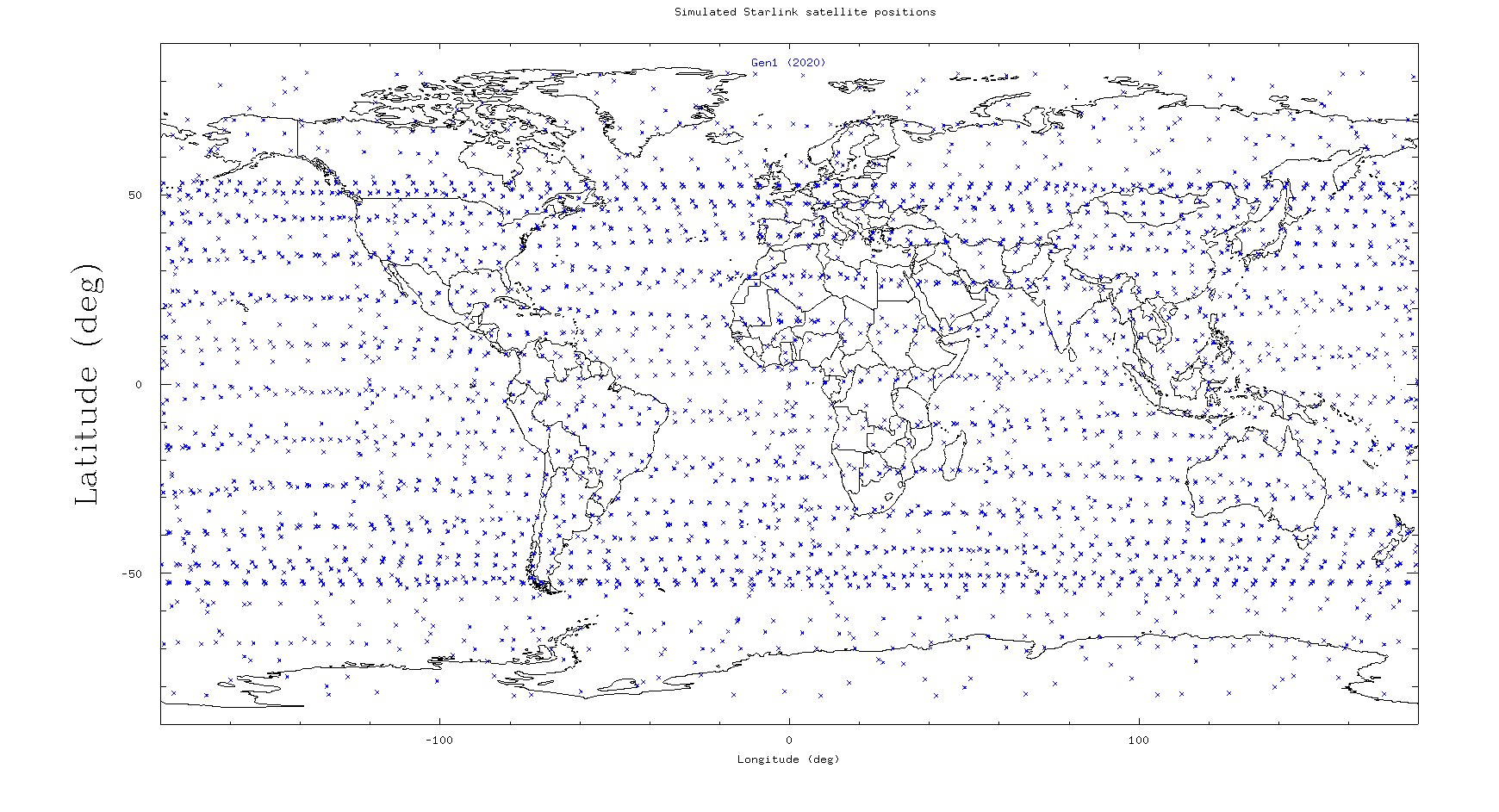
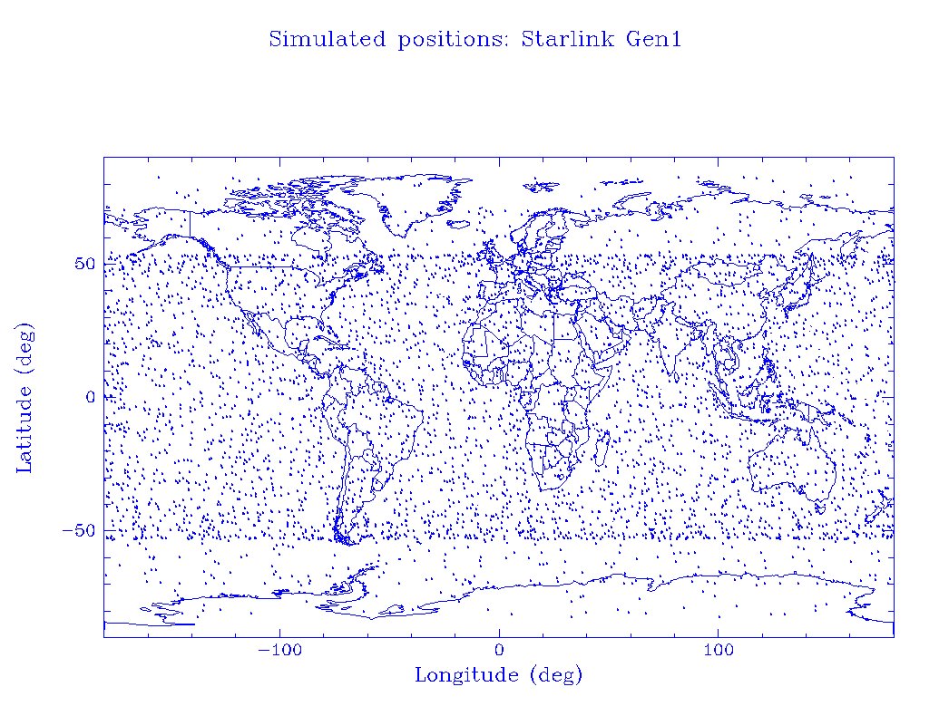
Realization of Starlink mod Gen1 (Model II) constellation, showing the varying density of satellites with latitude.
Realization of Starlink mod Gen1 (Model II) constellation, showing the varying density of satellites with latitude. Alternate model with satellite orbital phases randomized. In reality the phases will be controlled, and the distribution will be intermediate between this and the previous figure.
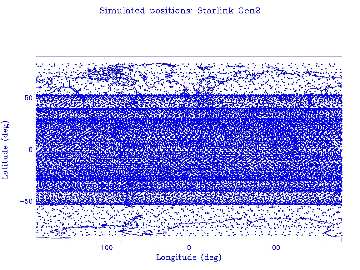
Realization of Starlink Gen2 (Model III) constellation, showing the varying density of satellites with latitude.
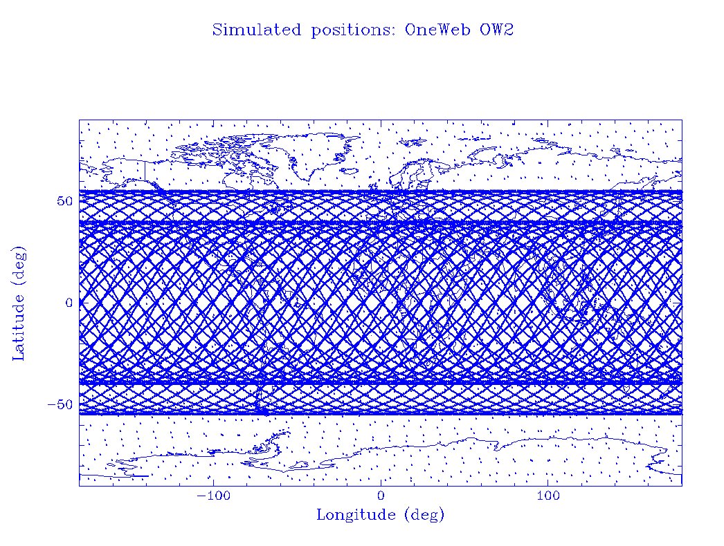
Realization of One Web (Model IV) constellation, showing the varying density of satellites with latitude.
Realization of Kuiper (Model V) constellation, showing the varying density of satellites with latitude.


